When Sara and I first arrived in Nova Scotia for her new job at St. Francis Xavier University, I was bemused to find all kinds of connections to Saint Ninian. In Montreal, I’d endlessly debated Ninian’s existence with Prof. Sara Terreault when we taught pilgrimage together at Concordia. When we moved to England and I was taking advantage of pilgrimages there, I’d enticed friends Ken and Christine to come over and join me as the first group of Canadians to walk Scotland’s nascently revamped Ninian walk, The Whithorn Way. Almost as soon as I arrived in Antigonish I admit I started concocting a fanciful pilgrimage here called “The Nova Scotia Ninian Way,” that would explain the strange choice of Ninian as the patron Saint of the cathedral here while weaving in the often suppressed histories of Gael and Acadian settlers, and original Mi’kmaw peoples on this Land.
Then the Antigonish Heritage Museum invited me to give a talk on Ninian.

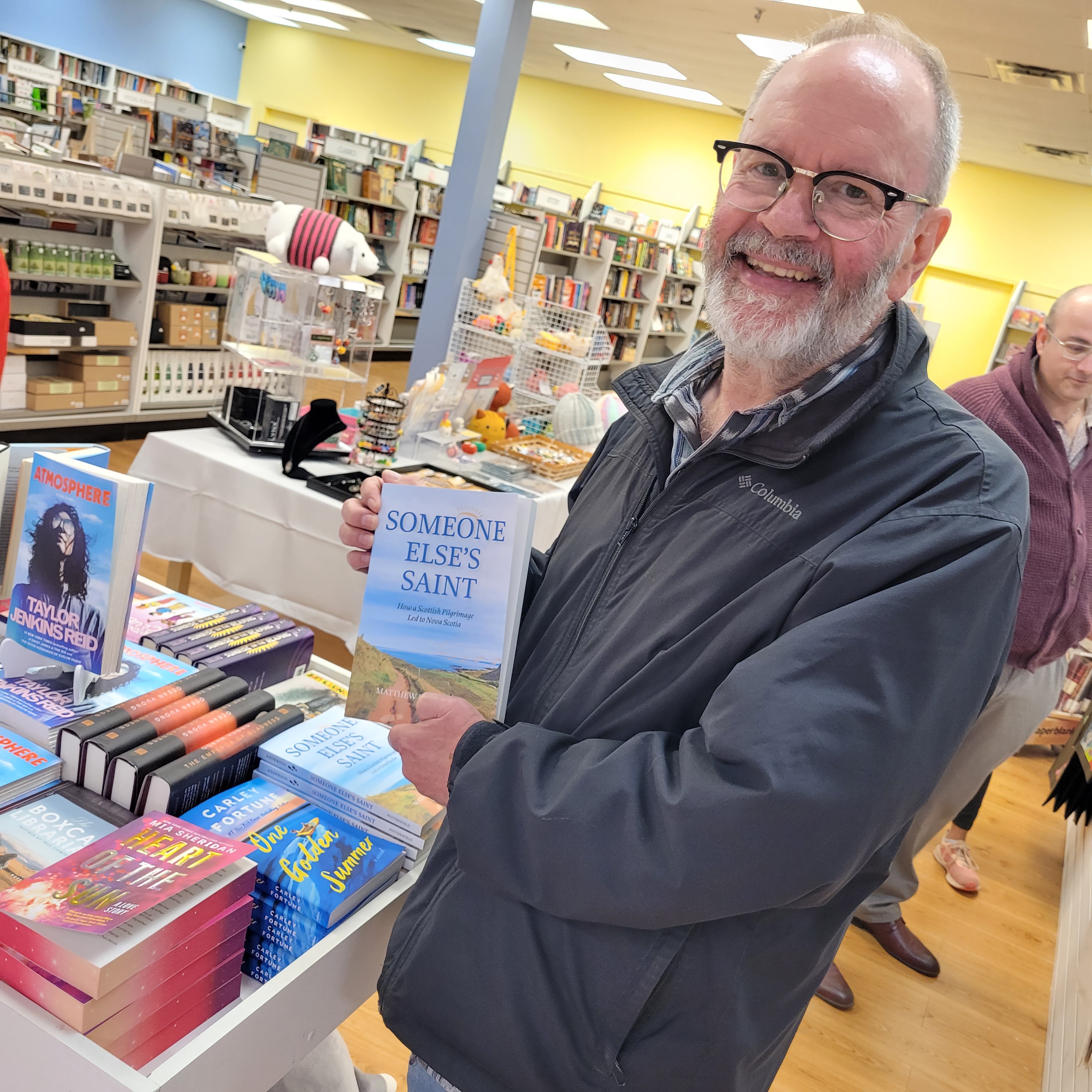
Sara found it a bit weird that I was pulling all-nighters for a talk that wasn’t any longer than a lecture for class. Finally I revealed to her that the talk was spiralling out of control! The deadline for the annual Pottersfield Prize for (unpublished) Creative Non-fiction was approaching …. one thing had led to another and I had myself a manuscript. It was a braiding together of two walks to Ninian–one in Scotland and one in Antigonish–and the stories of impossible underdog successes amid terrible colonial destruction on both sides of the Atlantic. To my amazement, the book, Someone Else’s Saint, won second prize!


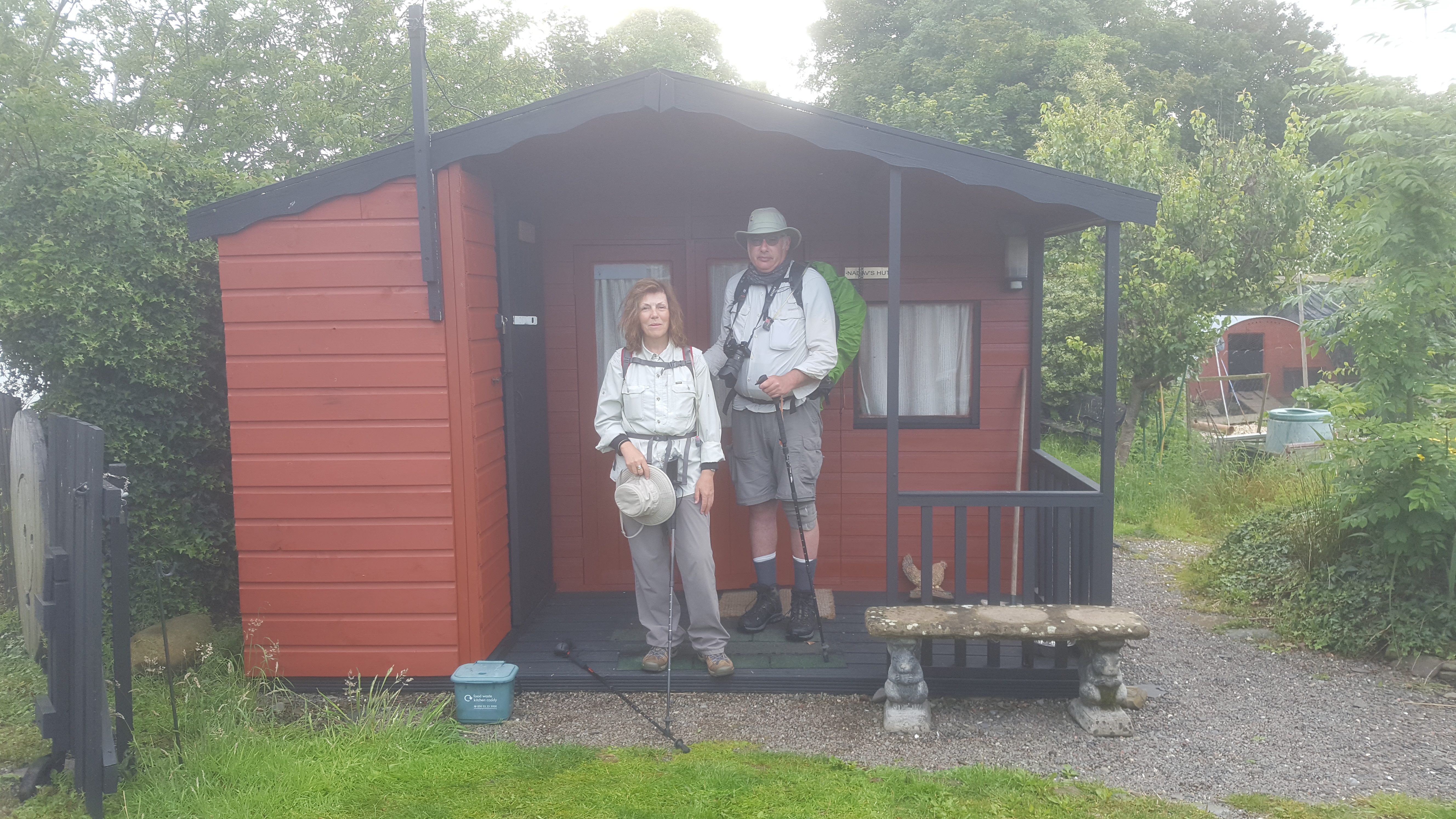
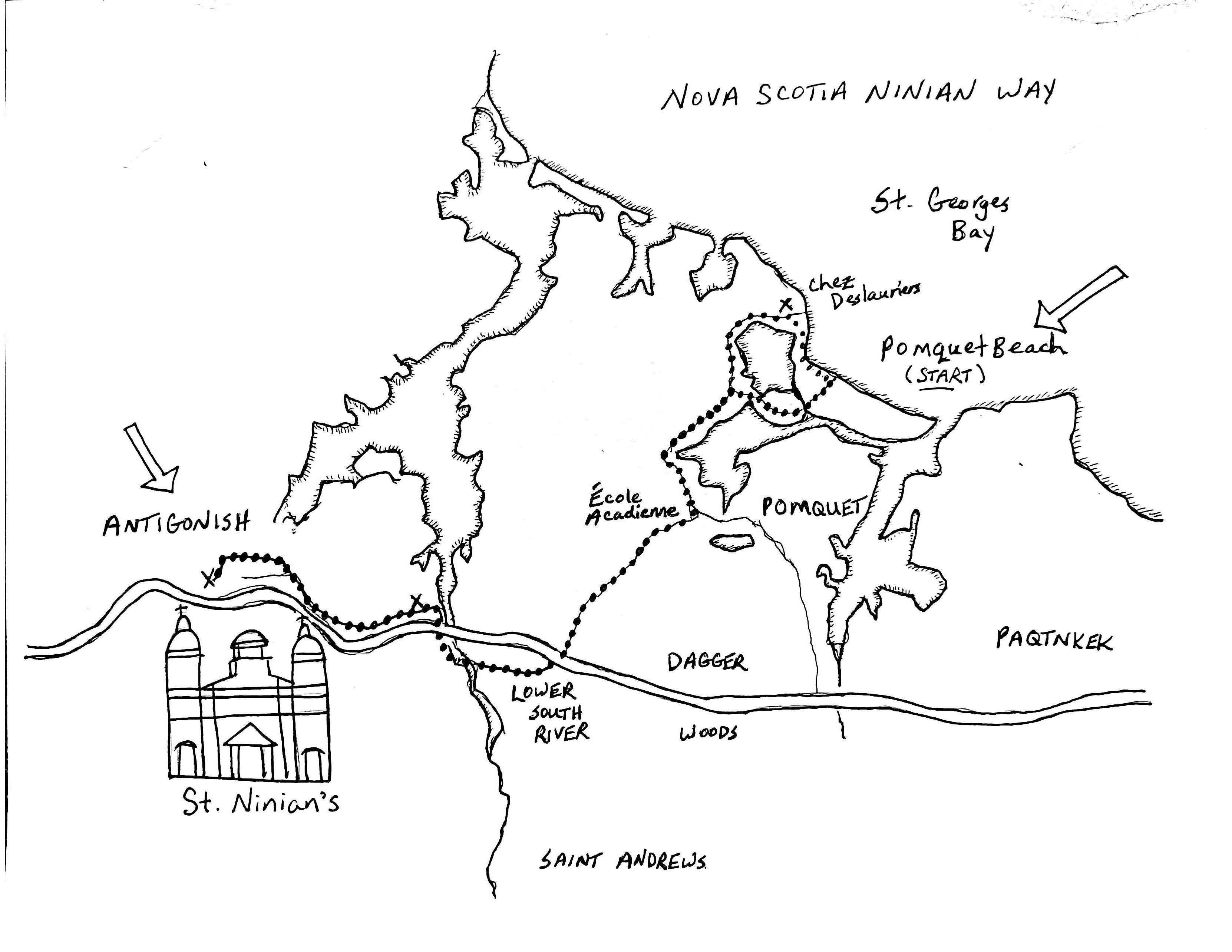
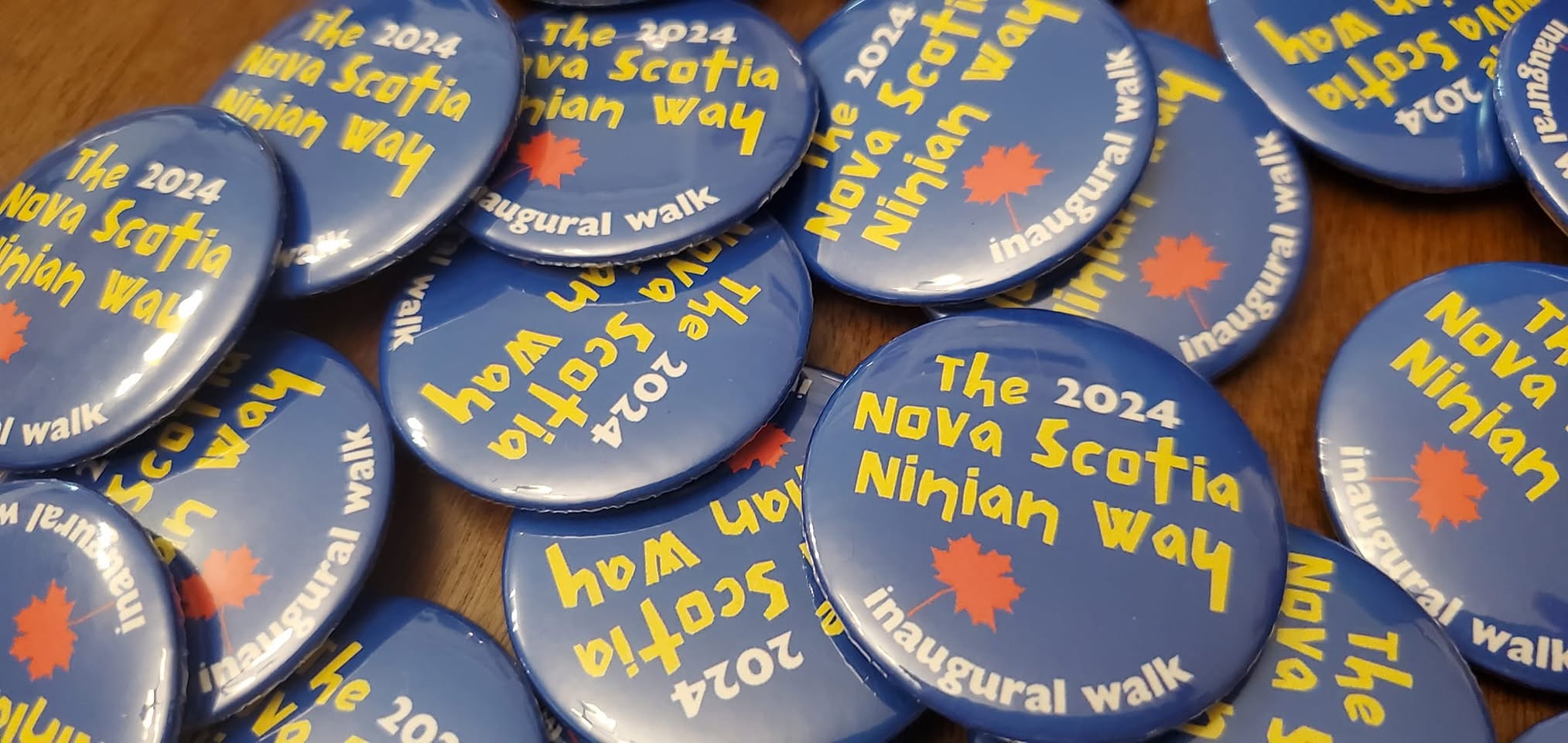
Since there was going to be a Real Life book, I knew then and there that there had to be a Real Life pilgrimage to match. What kind of a fraud would I feel like at book talks if I hadn’t even walked the trajectory I was describing? So the “word became flesh.” Soon, a map was drawn, rest stops were arranged, and a dozen or so adventuresome pilgrims (you know who you are…and thank you!) signed on to walk the inaugural Nova Scotia Ninian Way. We timed the pilgrimage to end at Saint Ninian Cathedral just in time for their 125th Anniversary Mass.
Talk about a bucket list moment.
I sure didn’t think it was likely the Nova Scotia Ninian Way would be walked again.
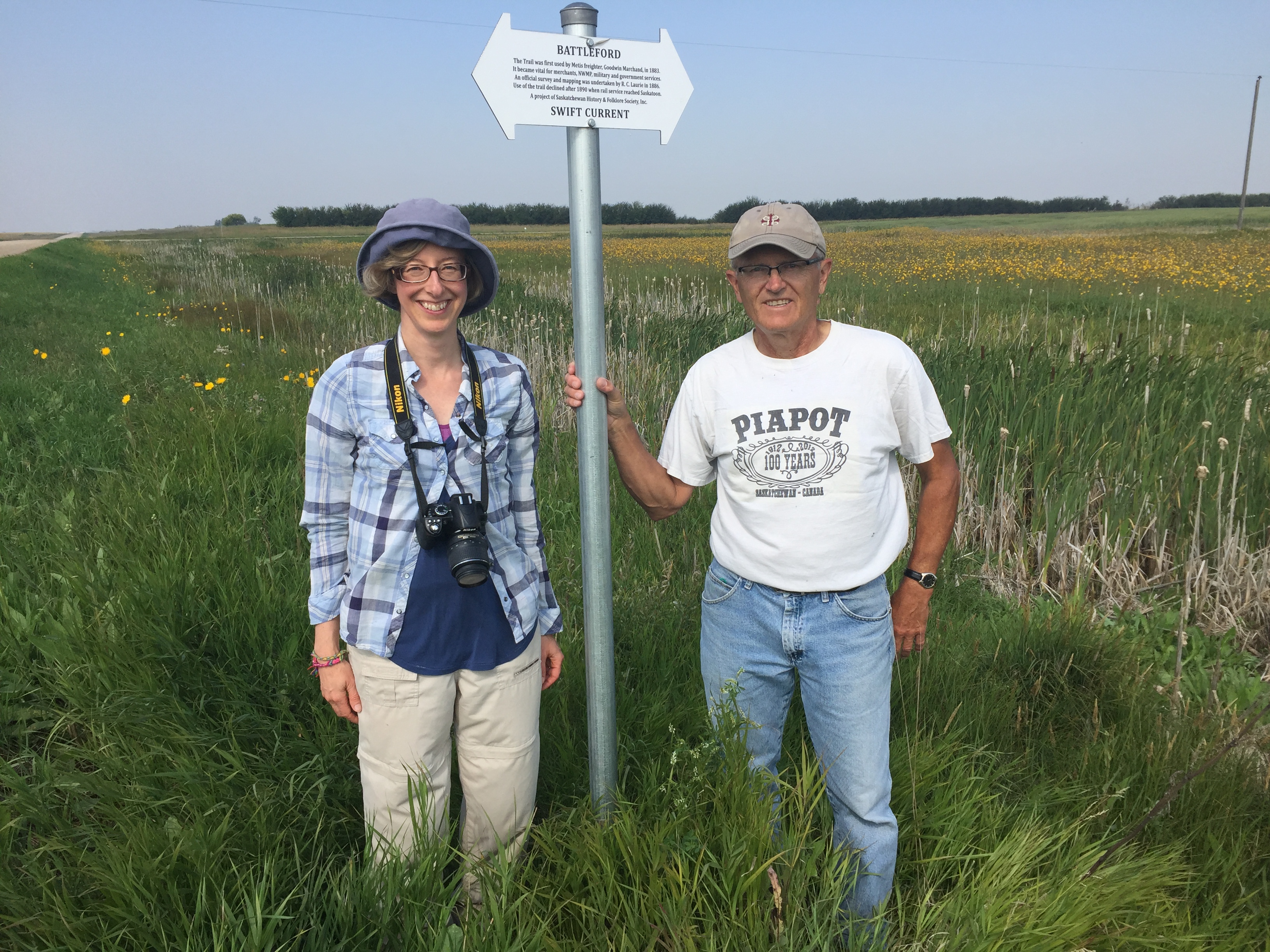
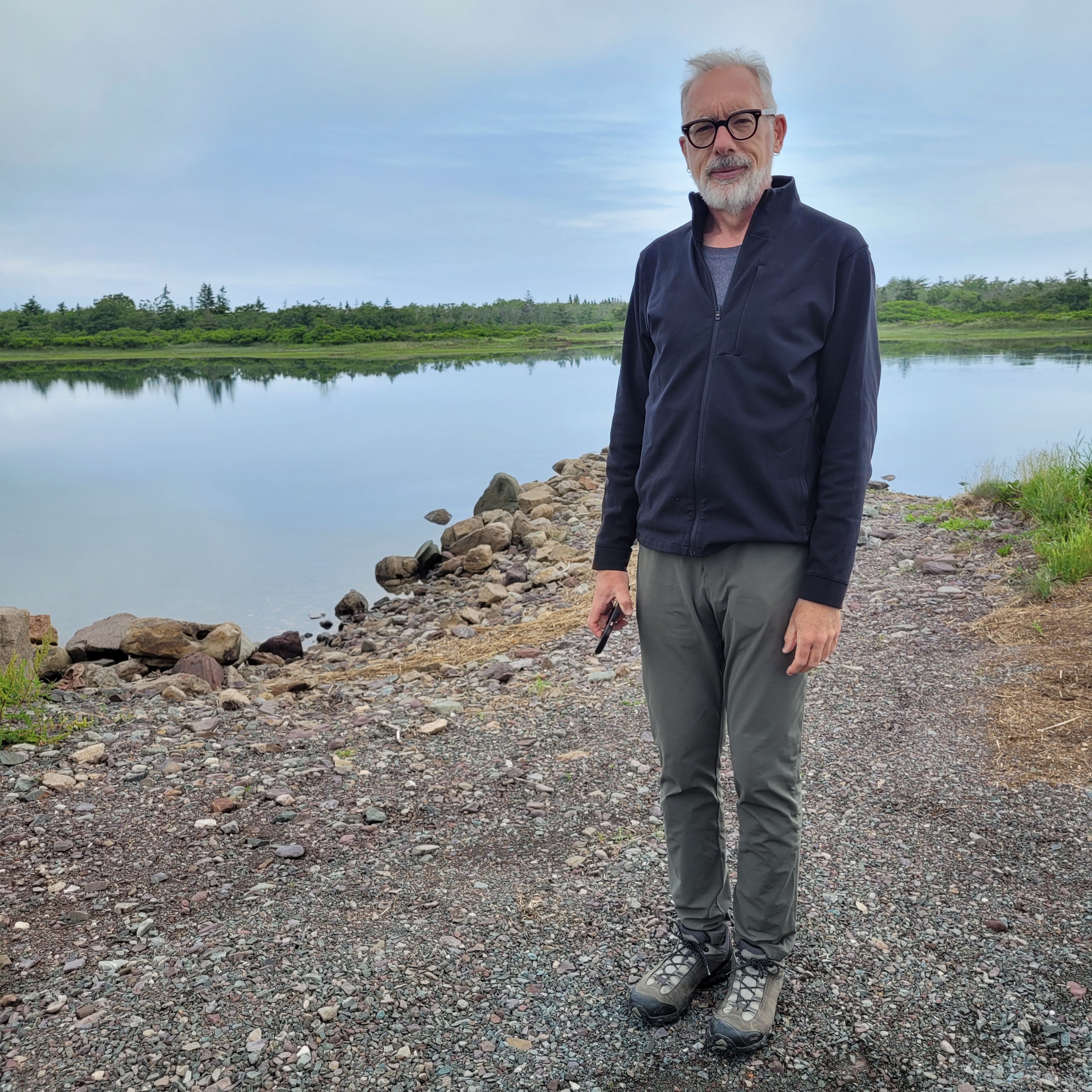
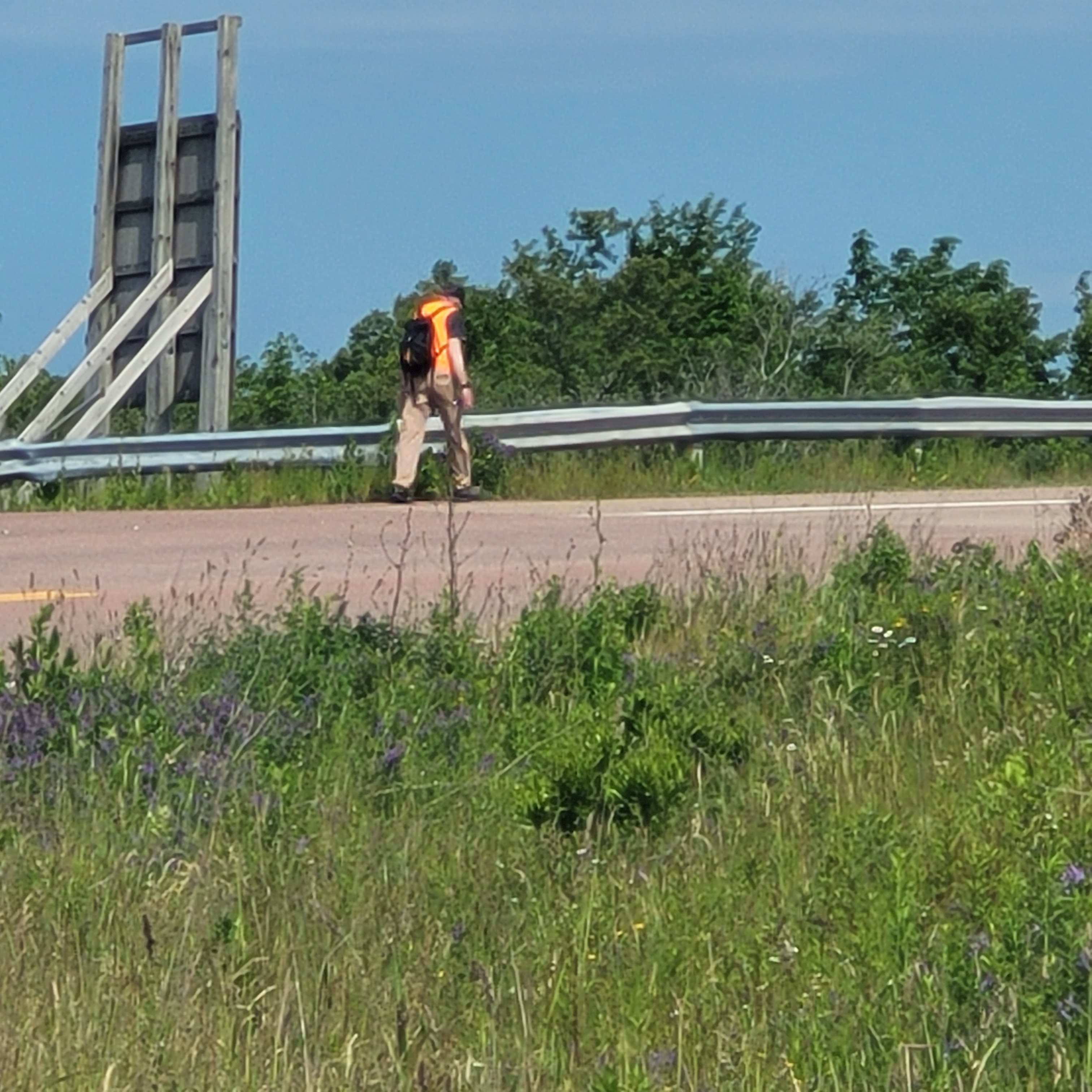
But today, my friend, and fellow walker/writer Ken Wilson is out there in a heat wave walking the entire 25 kms!
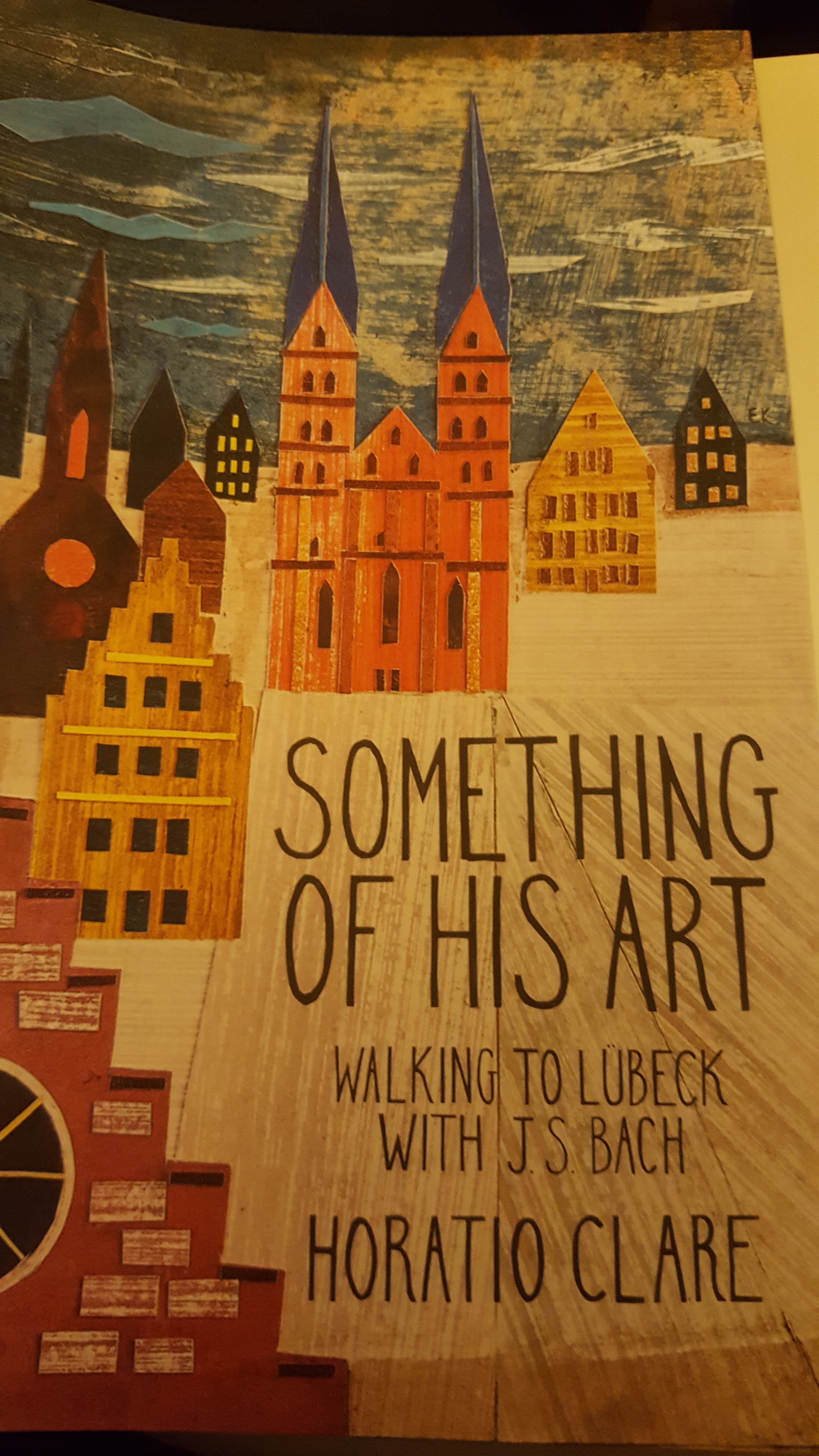
I shouldn’t be surprised. Ken essentially has a PhD in meaningful walking, he’s the author of Walking the Bypass, out soon with University of Regina Press, and he’s all through the Scottish portions of Someone Else’s Saint (although he wasn’t 100% enamoured of his depiction in the infamous STINGING NETTLE scene and the WET SOCKS FIASCO) as he let me know via his blogged review.)
But what an honour to have the likes of Ken check out this Antigonish Pilgrim Path AKA The Nova Scotia Ninian Way!


__________________________
Check out Ken Wilson’s blog “Reading and Walking”: https://readingandwalking.wpcomstaging.com/…/22/pomquet/
Buy Someone Else’s Saint: https://www.indigo.ca/…/someone…/9781990770692.html
Preorder Walking the Bypass: https://uofrpress.ca/Books/W/Walking-the-Bypass
Read about the Nova Scotia Ninian Way: https://somethinggrand.ca/…/29/a-nova-scotia-ninian-walk/


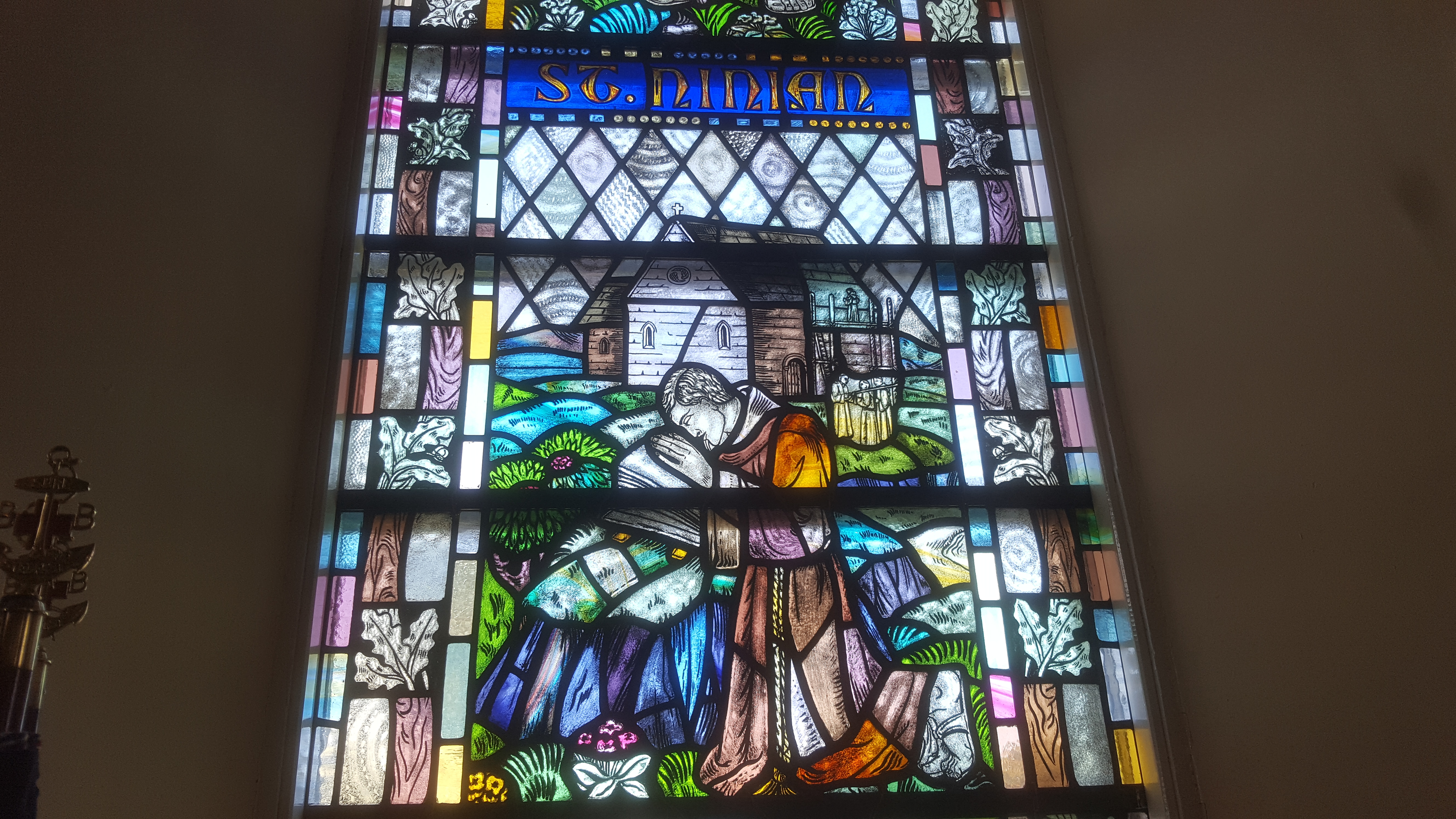 At the church in the ruins of Whithorn Abbey, no one was there to greet us. But the doors were open. Inside was Ninian, the fifth century saint, in stained glass, and a desk of pilgrim stuff. “Welcome to all pilgrims” said a little sign. “Please accept our certificate.” I wasn’t going to take one. We walked nine miles today, and overall already quite a distance. However I didn’t come as a pilgrim, but as a researcher and walker.
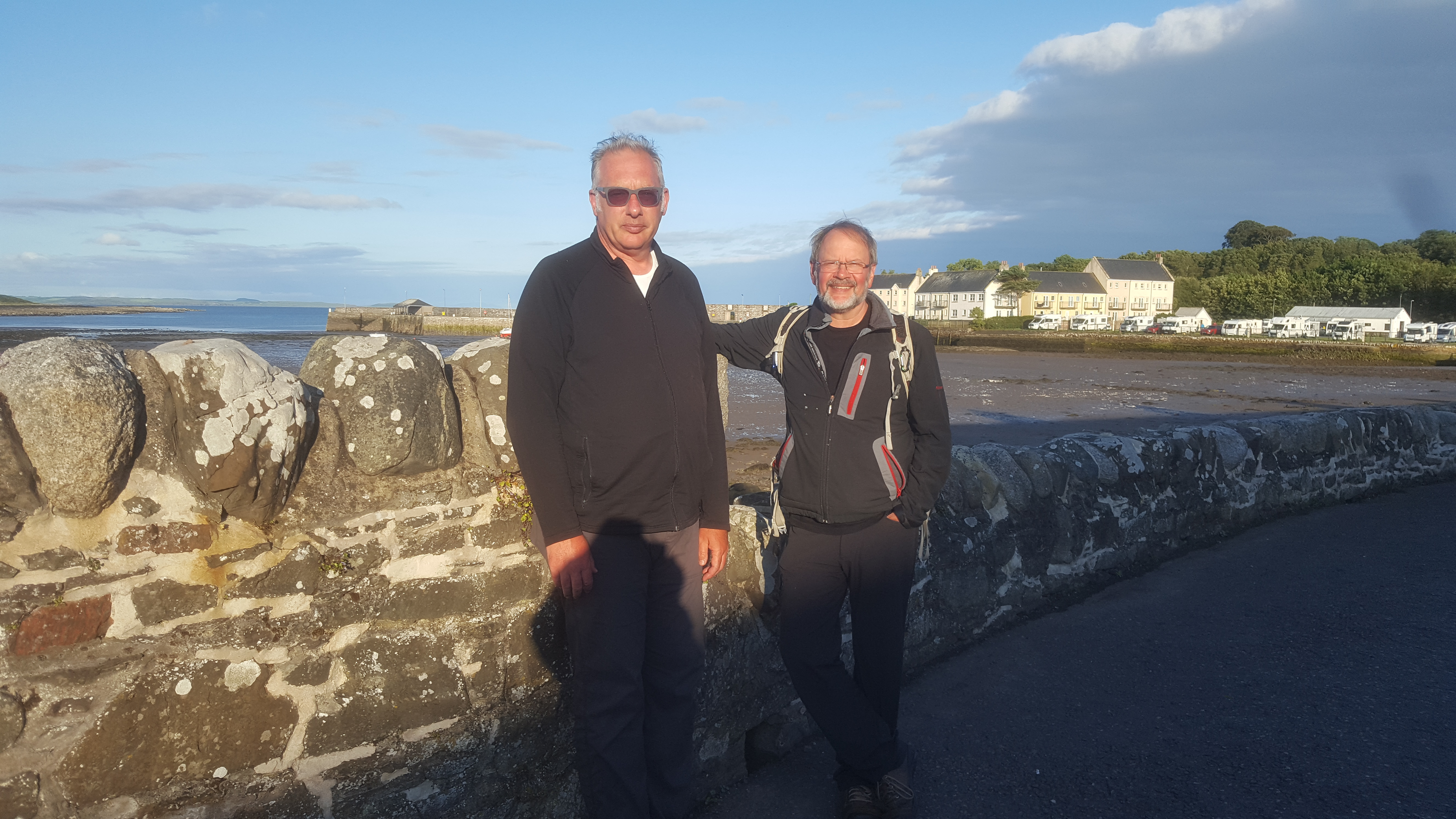
  Christine and Ken, despite being not as officially religious as me, picked up a copy, filled it out, and got me to sign on with them. That made it feel somehow like a group recognition.
  Was the certificate the sign of our “arrival” at the end of the pilgrimage? Not really: tomorrow we go to St Ninian’s Cave, where stone fragments of fifth and sixth century altar pieces have been found. Maybe it’s there. From the cave we walk our final 11 miles around the coast to the Isle of Whithorn. The destination there is really the Steam Packet Inn, a pub overlooking the harbour. Not especially religious, but tasty.
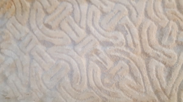 The endless looping stonework knots are reminiscent of Ireland and of Lindisfarne, brought to Whithorn in part by Norse Christians out of Ireland. From the back of the museum I walked into the crypt where a line of Bishops were buried, and finally into the grotto that once held St Ninian’s bones. I admit: this felt like more of a destination than anywhere else. It felt like a holy place. The fact that whatever bones were there were lost during the Reformation doesn’t bother me much. 21st century western pilgrims aren’t fixated on a saint’s body, but more on their own. And mine, especially my ankles, have felt the distance.
 On the subject of Ninian: I’ve long had a semi-teasing argument going with Sara Terreault, who teaches pilgrimage and Insular (Celtic) Christianity, that St Ninian never even existed, but was a made-up figure. Not that I held that firmly, but I knew it was a good way to tease her. I will have to come up with something else. The presence of the Latinus Stone,
 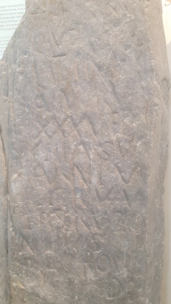 with a name in both Latin and the local Celtic language indicates Christianity at Whithorn by about 450 CE. Although there may be little hard evidence of Ninian, there is so much circumstantial reference, in addition to Bede’s account, that one has to accept that a late Roman-age Briton helped introduce official Christianity to what is now Scotland. Even the cab driver who brought us home tonight knew the whole story and could provide the arguments, in addition to other interesting tidbits. As his BMW sped by within inches of stone walls he pointed to them and told us that French Prisoners of War from Napoleon were forced to build them for the Scots.
  When we first arrived, this dog, who lives at our B&B, couldn’t wait to find out who the visitors were.
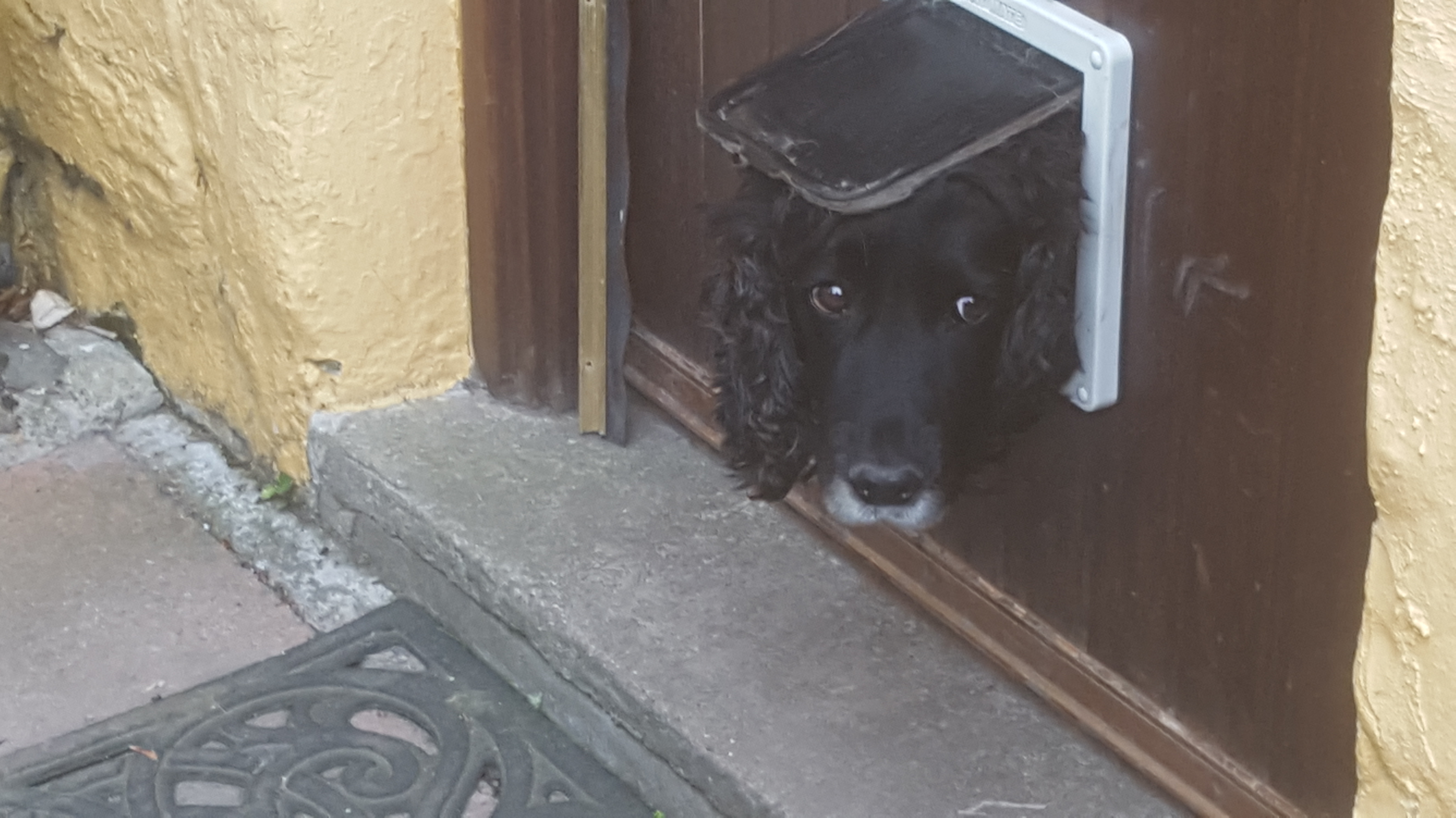
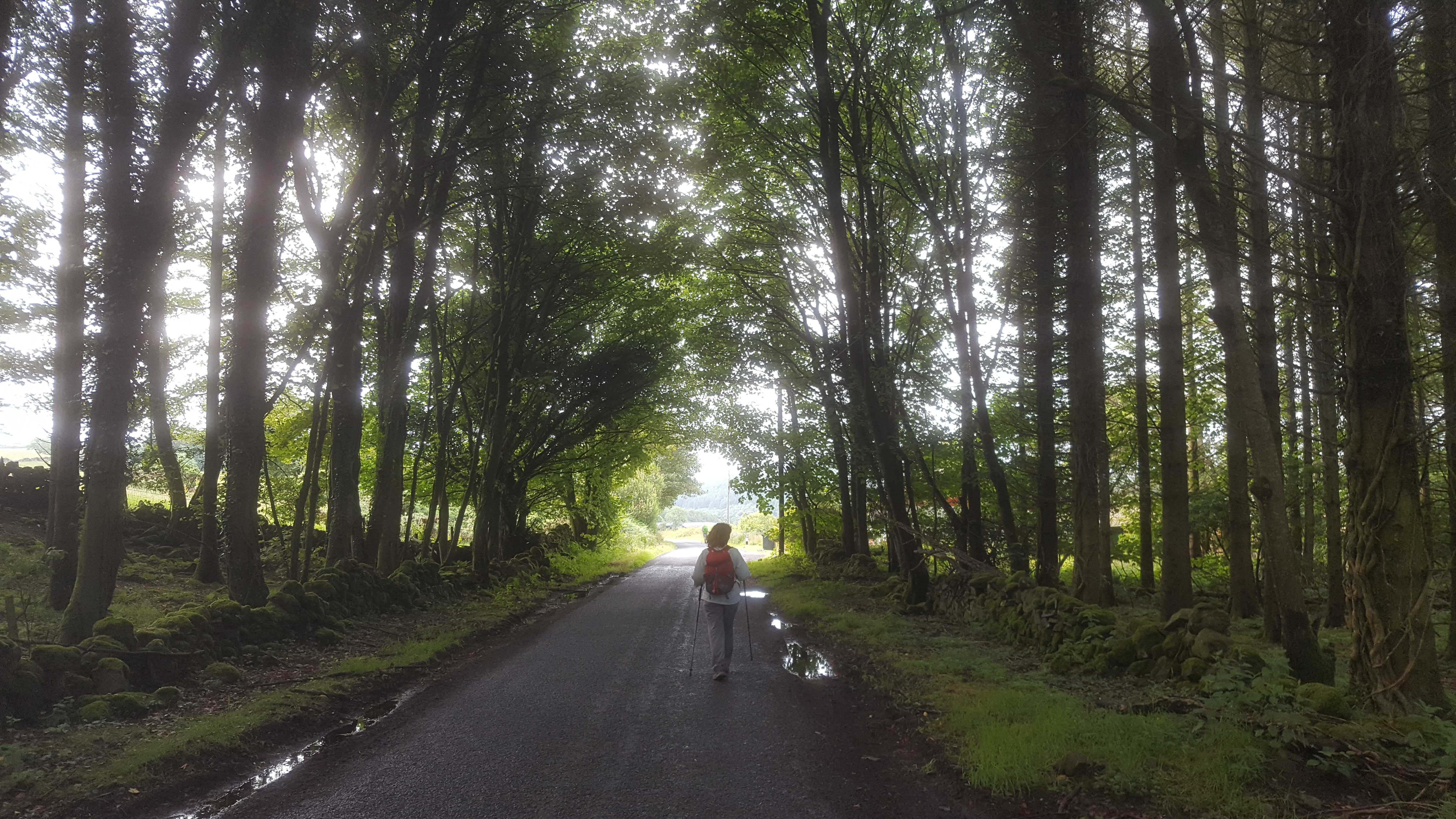
 and we ended our 15 miles with sodden boots, frozen and shivering from a cold and steady Scottish wind.
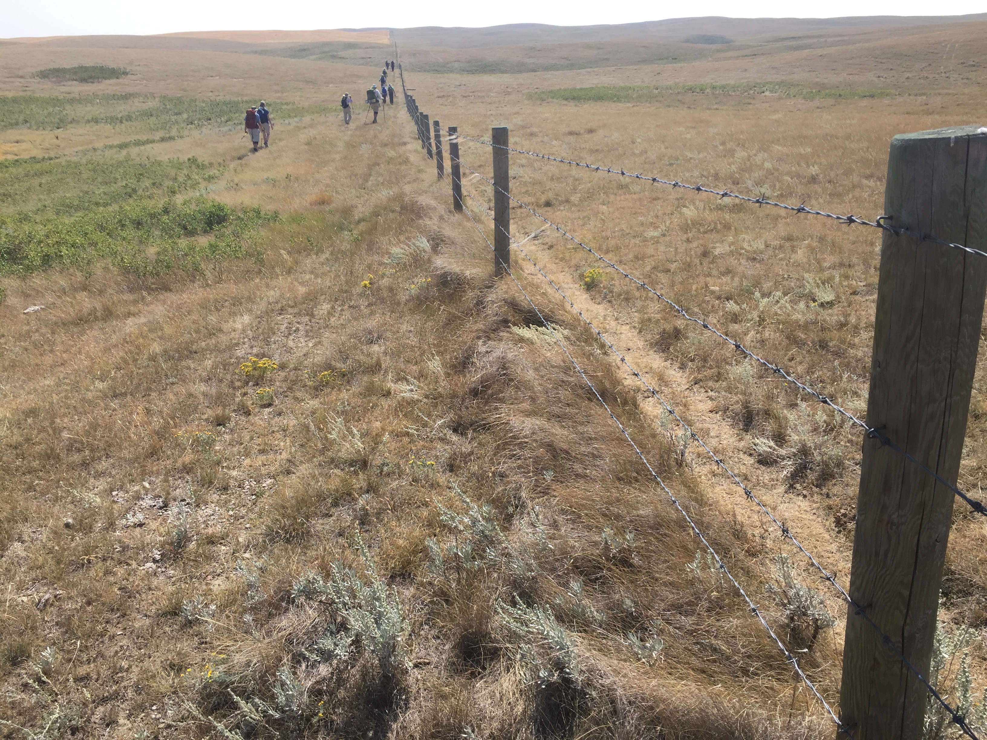
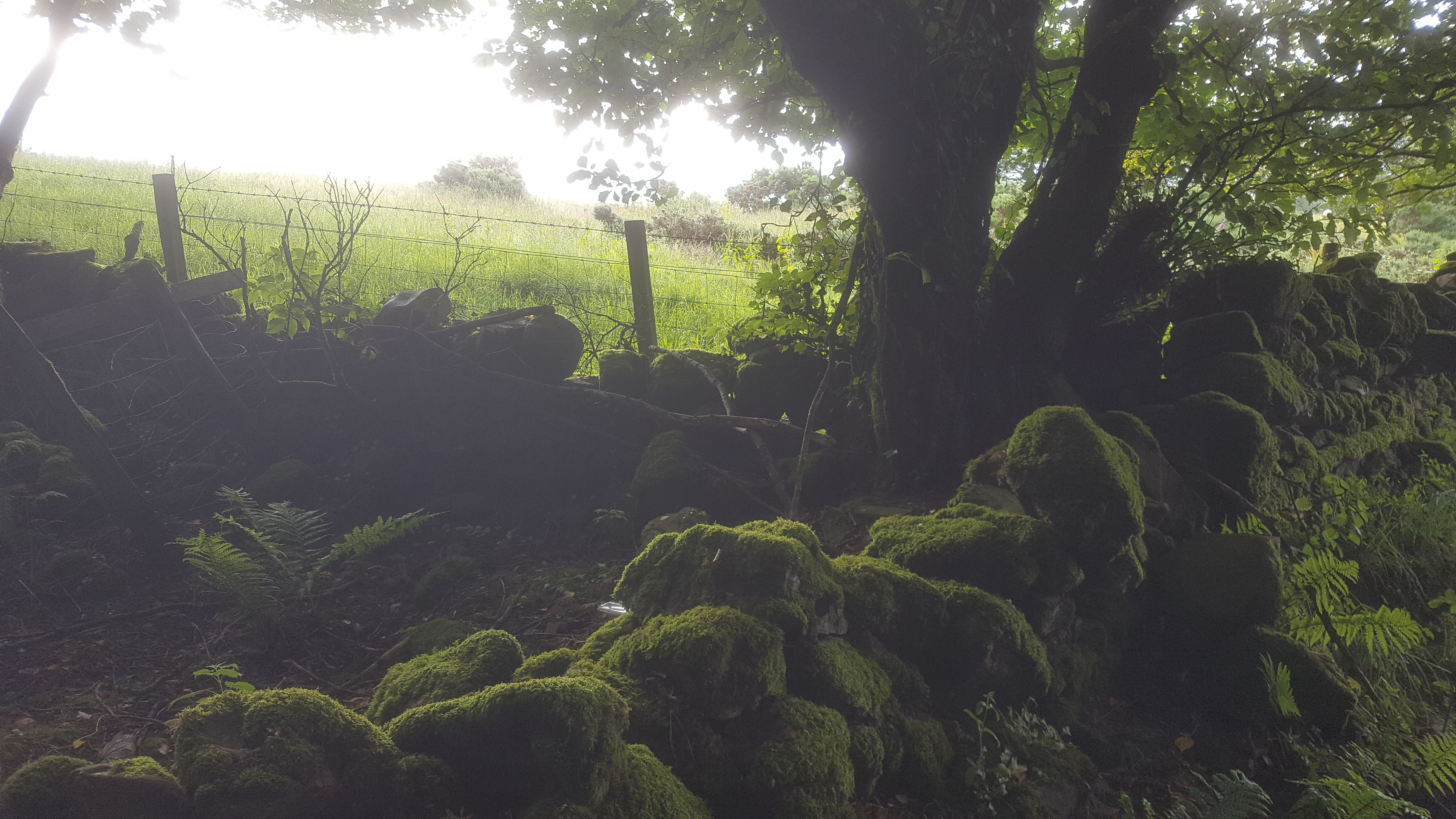
 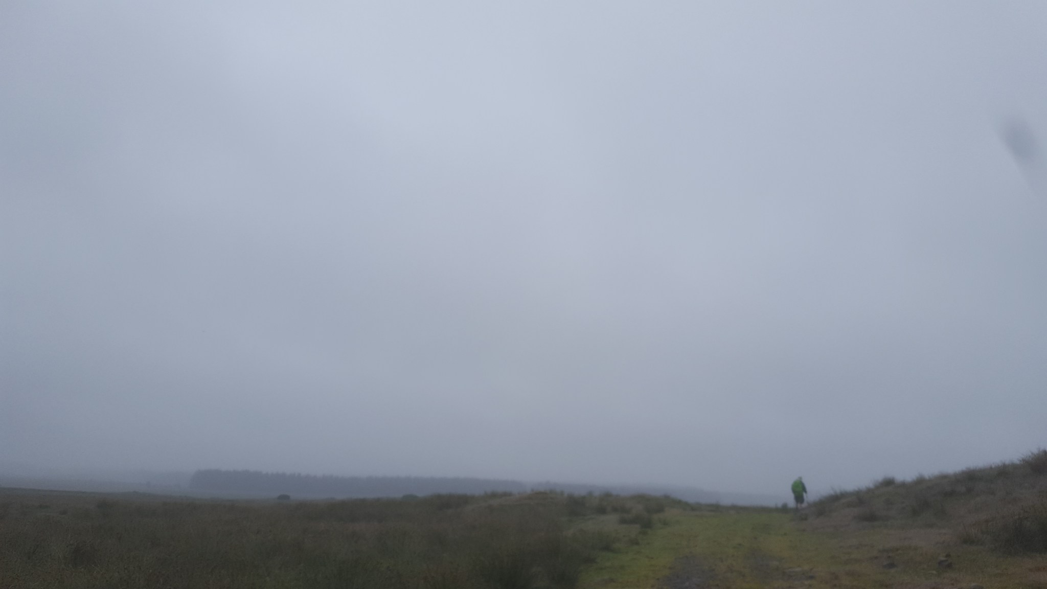 We crossed the Galloway Moors in a solid drizzle interrupted only by cattle, horses, sheep, goats and rams. Some of whom were in a hurry to get past us on the narrow tracks.
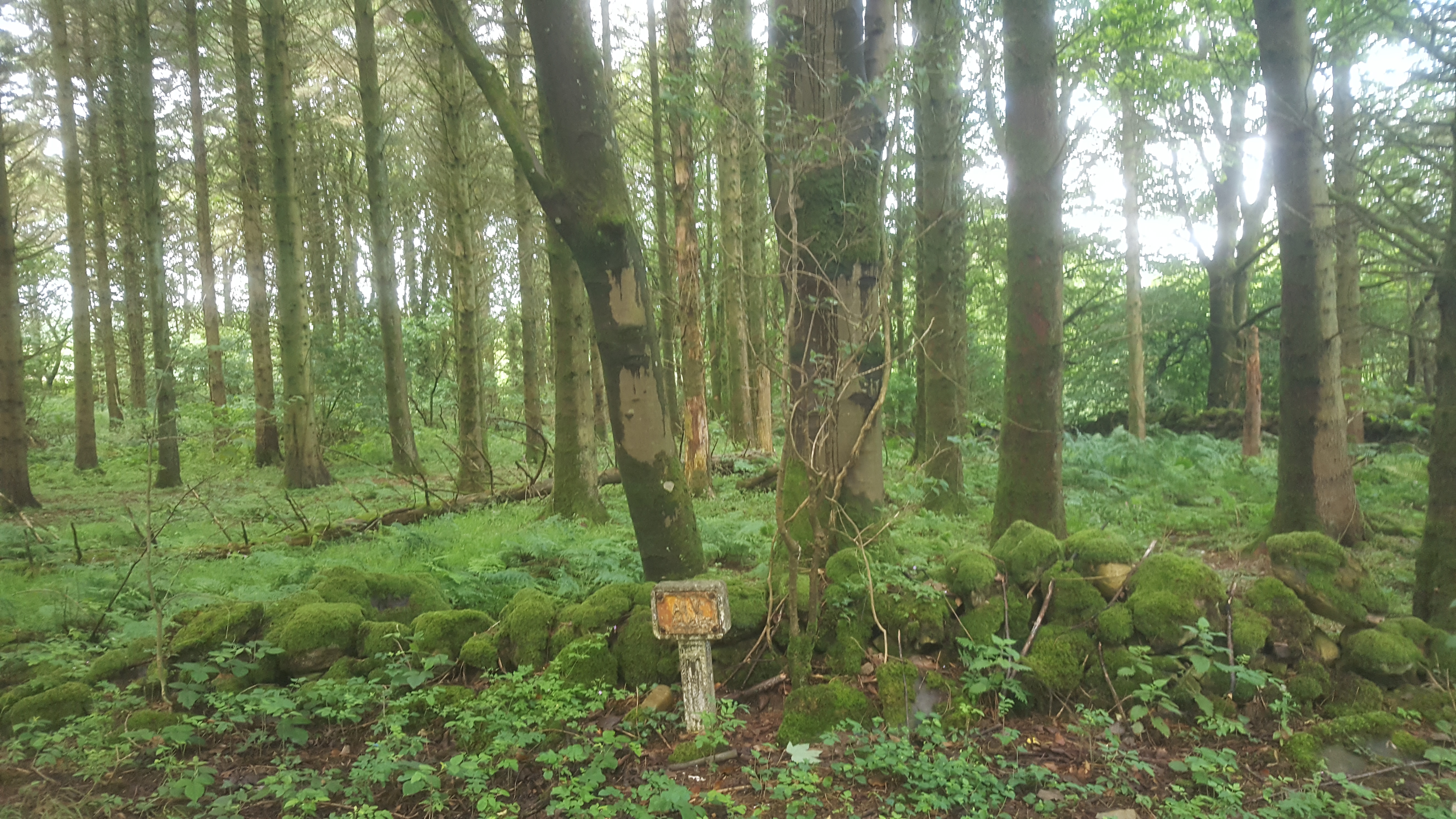
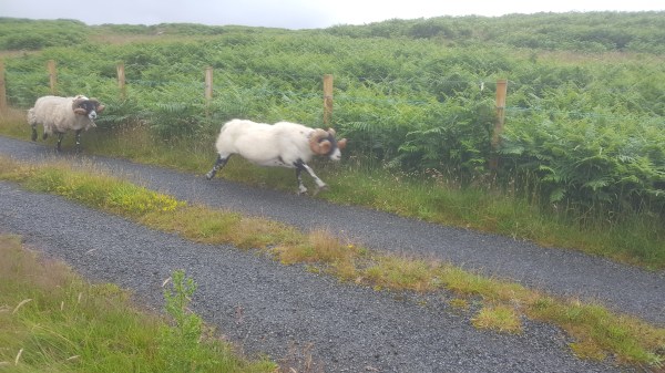 If there was a theme to the day, it was the incredible human history of Galloway, this sparsely-inhabited piece of Scotland responsible for 40% of its cattle, most of its lumber exports, and – according to Peter, who joined us – most of Robert the Bruce’s army. Peter met us at the remains of Glenluce Abbey. He told us he would do his best to speak “standard English,” but couldn’t help flipping into an “Och, aye” when he got excited – as he often did – about the subject of paths and people in this part of the country.
 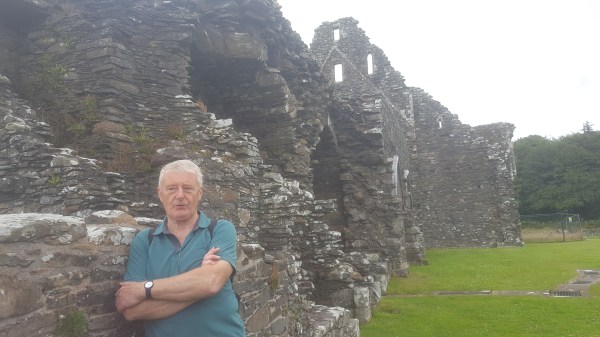 At times I’d only figure out what he was saying a few sentences after he’d finished. But it was the most fascinating compendium of history and politics, things like the fact that path rights on the seacoast had to take into account Robert the Bruce’s unusual title to his troops, that they owned the sea “as far as you can throw a spear out into the surf.” The Whithorn Way took us by the Abbey, whose stones were ripped down by locals during the Reformation to build the neighbouring farmhouses and the Lord’s manor. We walked by two different Lochs (lakes) where Peter pointed out islands that were, in the late bronze age, Crannogs.
 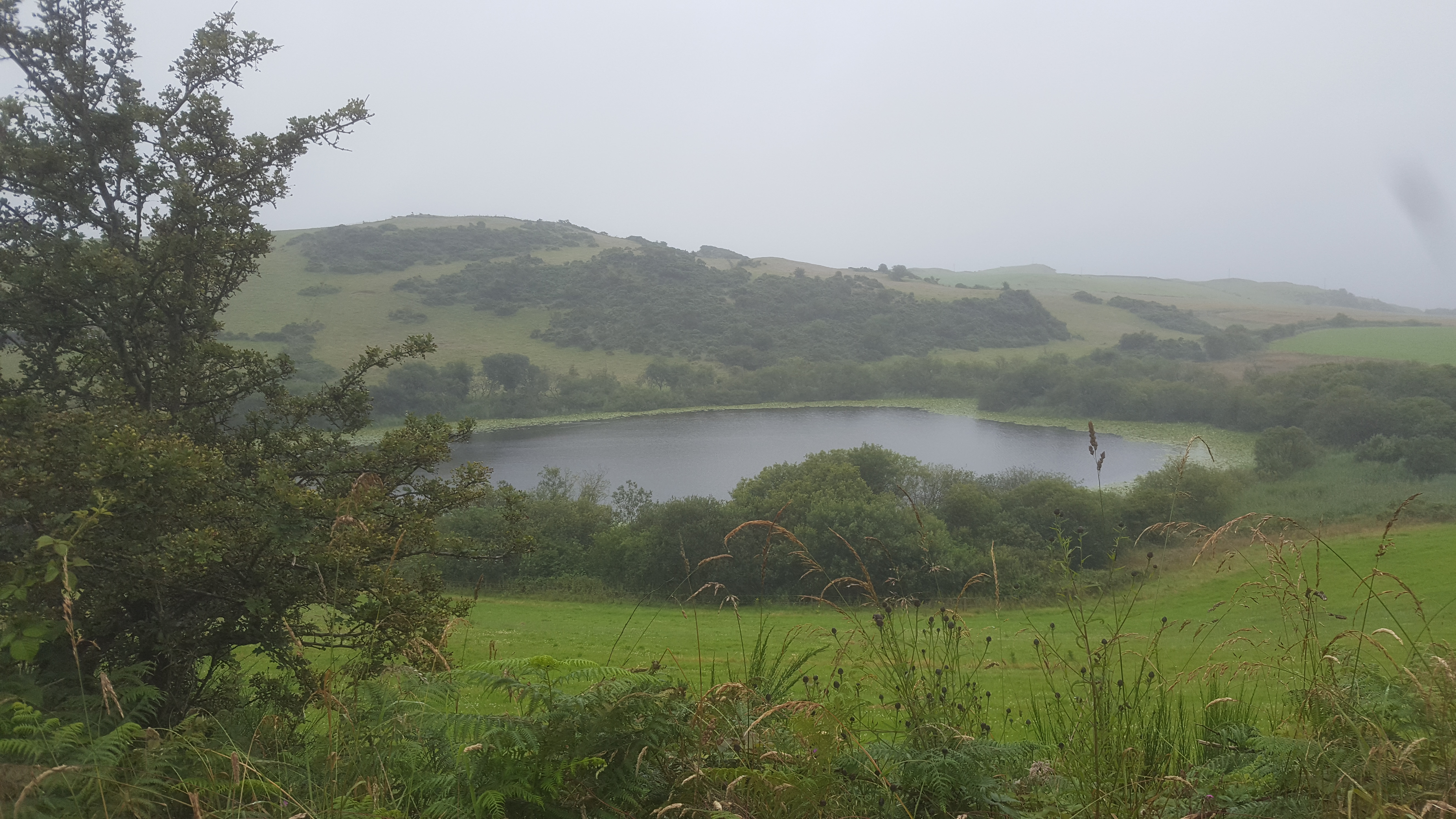 A Crannog is an artificial island built by a stone or bronze-age family which pushed alder trees down into the mud, then filled them in with rocks and stones so they had a home relatively safe from attack in the middle of the lake. Archaeologists can radio-carbon date and ring-date the trees used in building these islands to determine when the ancient Picts built these island homes.